


Voting District 0311500000003, Cheboygan County, Michigan
About
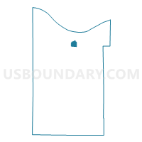
Outline

Summary
| Unique Area Identifier | 596205 |
| Name | Voting District 0311500000003 |
| County | Cheboygan County |
| State | Michigan |
| Area (square miles) | 2.70 |
| Land Area (square miles) | 2.70 |
| Water Area (square miles) | 0.00 |
| % of Land Area | 99.89 |
| % of Water Area | 0.11 |
| Latitude of the Internal Point | 45.63330310 |
| Longtitude of the Internal Point | -84.44108000 |
Maps


Graphs
Select a template below for downloading or customizing gragh for Voting District 0311500000003, Cheboygan County, Michigan


Neighbors
Neighoring Voting District (by Name) Neighboring Voting District on the Map
- Voting District 0310742000001, Cheboygan County, MI
- Voting District 0311500000002, Cheboygan County, MI